
Campus Data For Geo-Location Based Augmented Reality
Under the supervision of Dr. Chengwei Lei
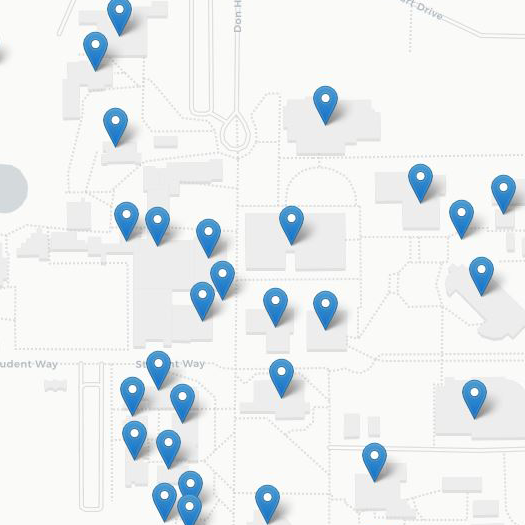
Currently students and guests of the CSUB campus can only navigate around campus based on antiquated maps which may be inaccurate or lead to confusion. They are not efficient at all and do more harm than good. There is no true way of navigating around CSUB without consulting the help of someone who is familiar with the ins and outs of CSUB.
The main idea behind our solution stemmed from a conversation our team had while we worked for ITS here at CSUB. Our Director Rich Nelson, spoke about ideas they had that were in the pipeline but very far back and of very low priority. The concept was an interactive map that students could refer to when navigating CSUB. This map would be perfect for both new and returning students because CSUB has many unlabeled buildings and classes tend to be in main areas. There are many locations that are unknown to most students. Our team took this idea and expanded it to an AR, or augmented reality, based mobile app. The app would make primary use of the devices camera and when pointed toward a Point of Interest, or POI, it would display an AR object that would act as a label for that building. This would effectively label all buildings on campus for students.