CMPS 4350
Project 3
Roadtripper
My idea for this project is to make an iPhone app that uses the GPS sensor to find you popular travel locations and tell you how far away they are from your location to help you plan out your next roadtrip.
Prototype sketches
I started off by sketching out some rough layouts of a possible design for the app on some paper. The map page shows your location and where the travel locations are as well. The home page has images of different locations that can be clicked. Once you click on one of them it will take you to a page dedicated to that specific location and it will give more information on it.
Map
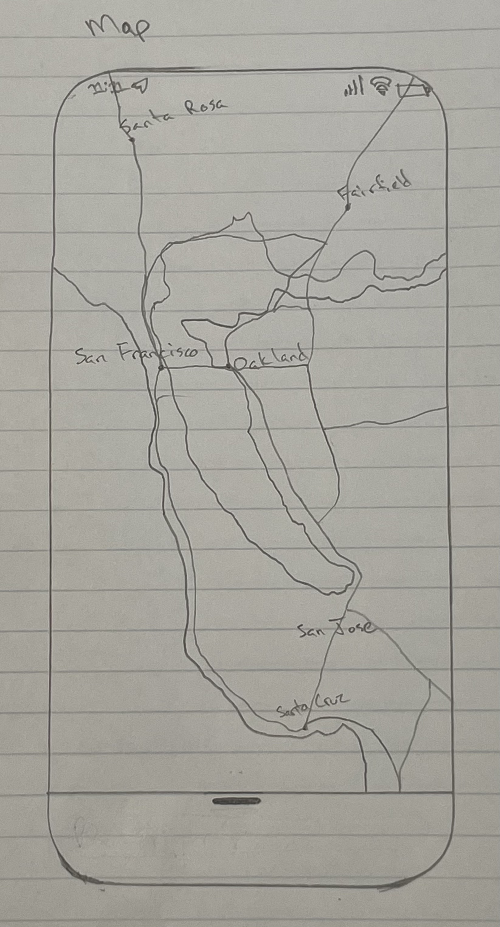
This page will show a map that the user can use to see their location and other locations that are saved in the app.
Home
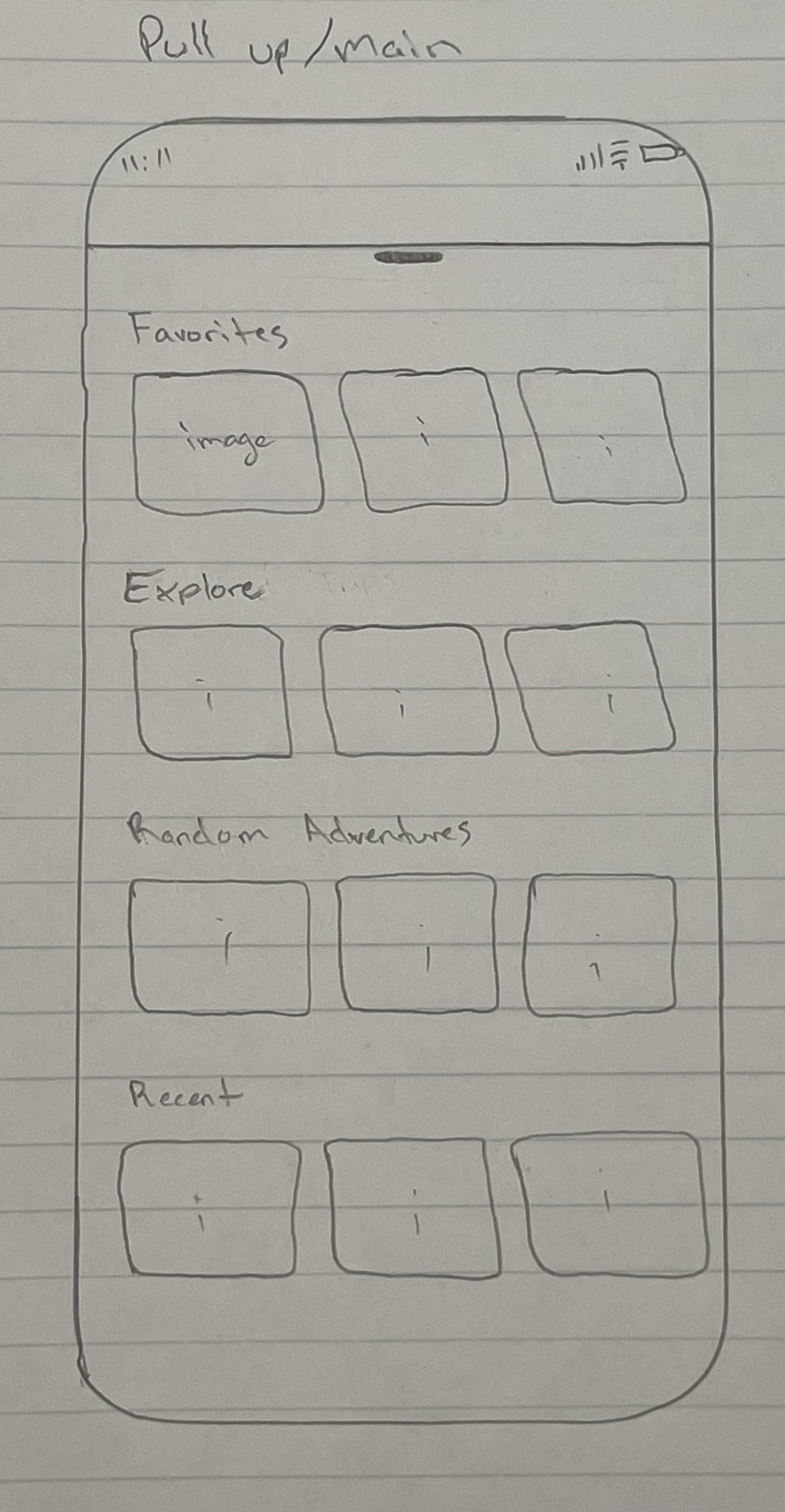
This page shows different cards with images of popular locations that a user can scroll through and click to get more details.
Info
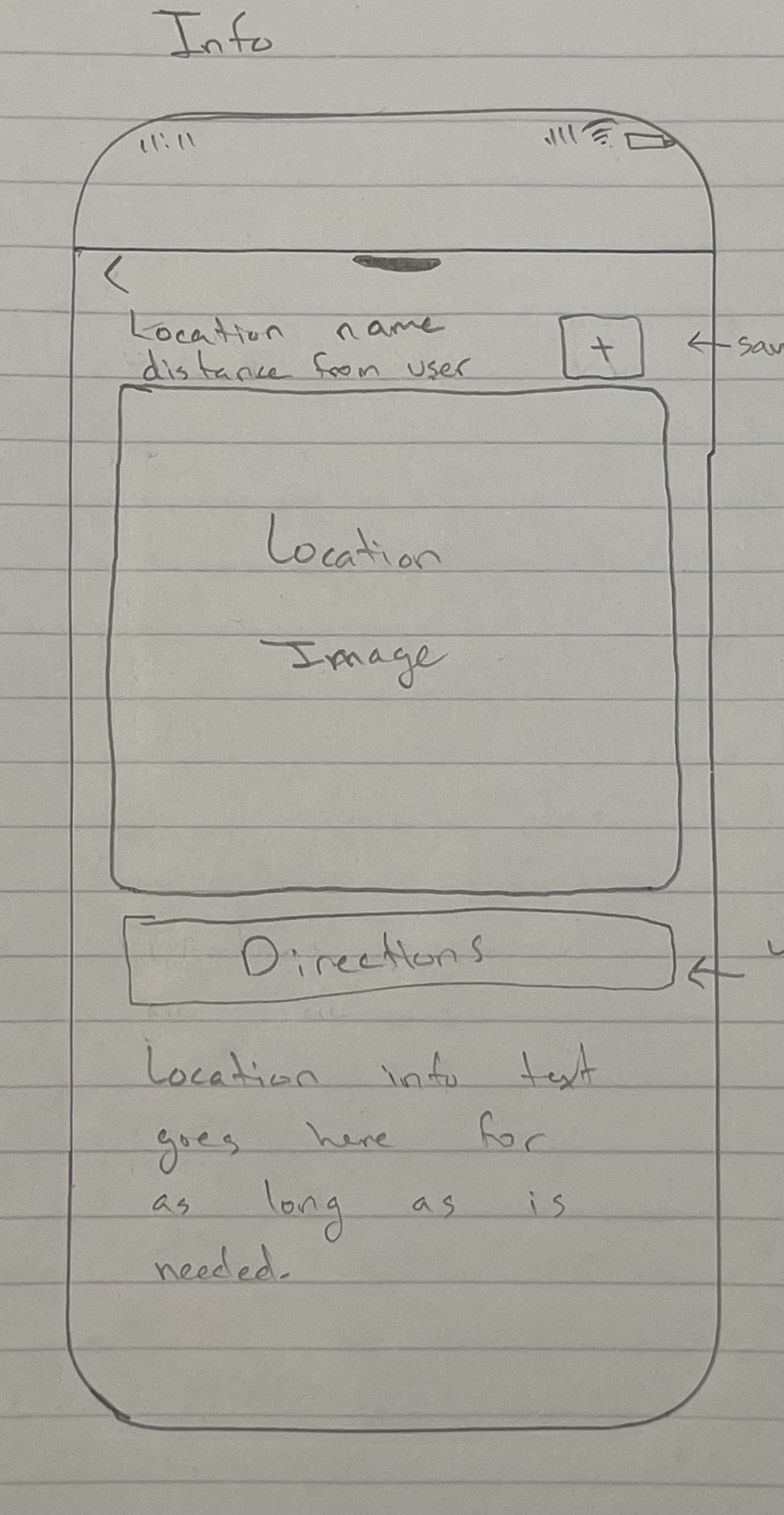
This page shows more information on a specific location like an image, a description, and distance from the user.
Wireframes
Then I used Figma to create some wireframes of the app and made some slight changes to my original sketch for the the home page and the information page.
Map

Home

Info

Final Product
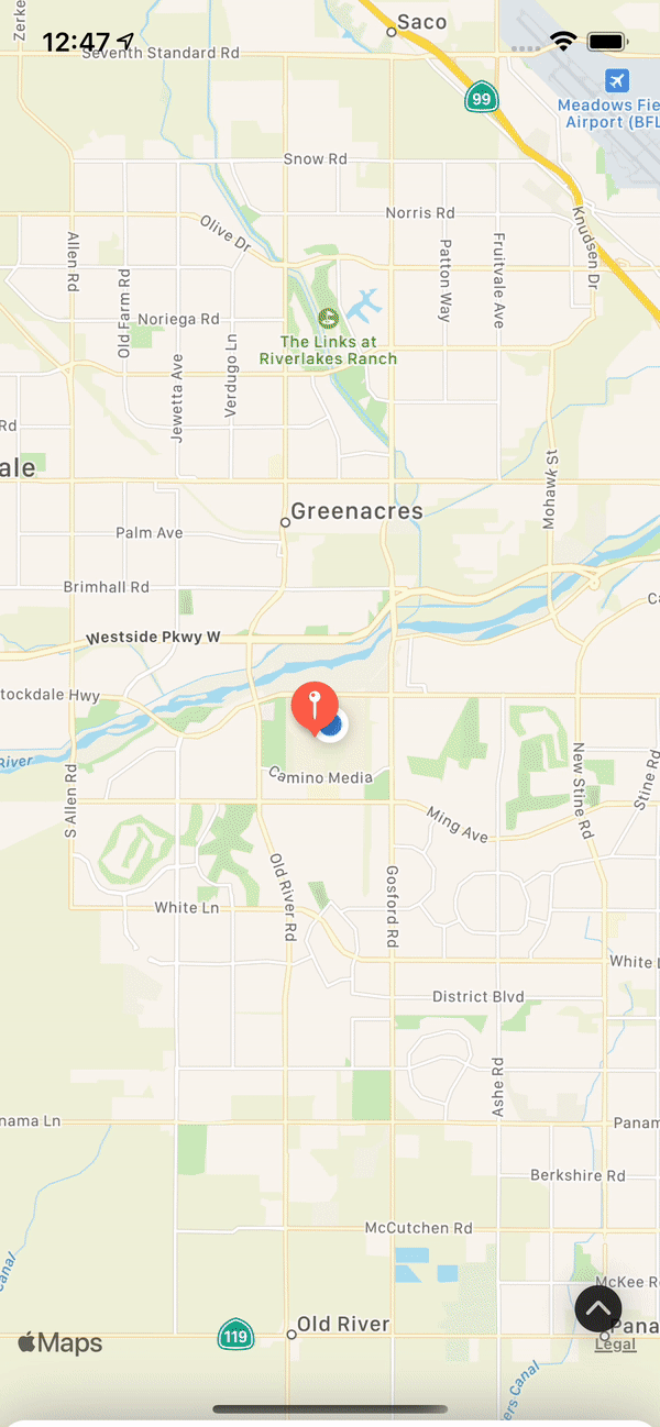
Map
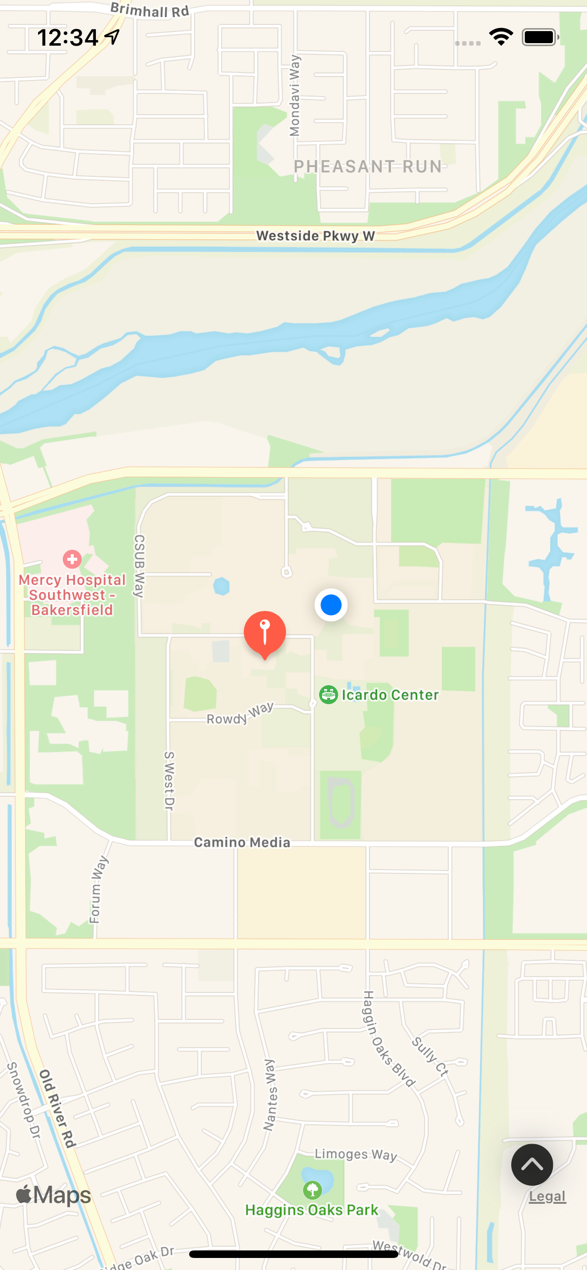
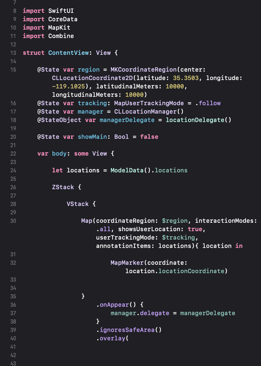
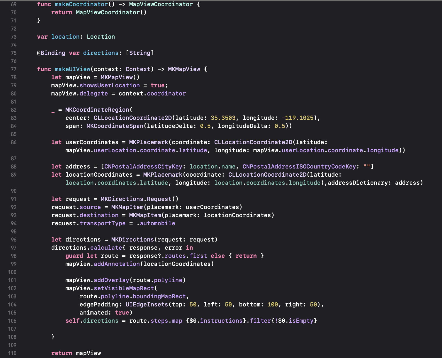
The map view shows a map and the user's precise location using the GPS sensor.
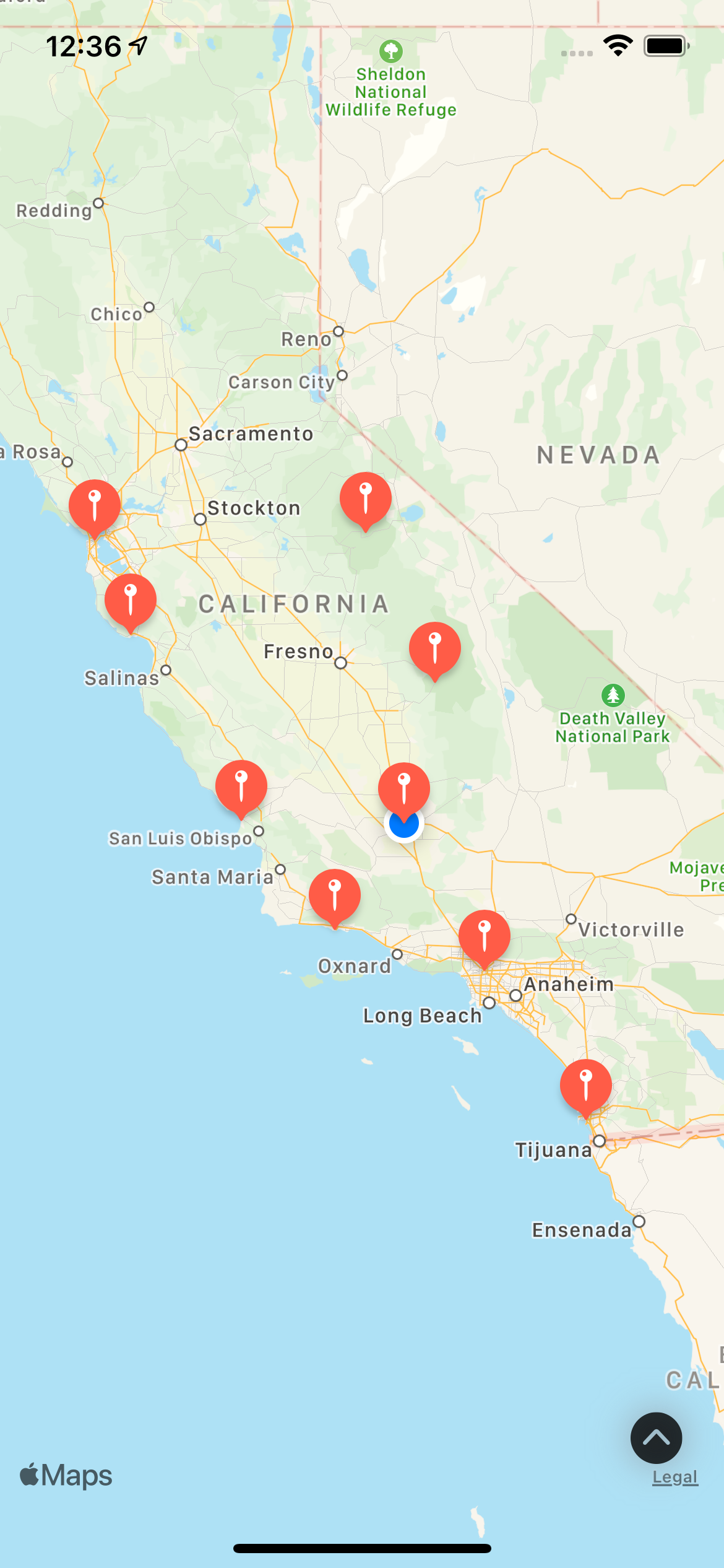
Zooming out on the map will show pins of all the saved locations that can be viewed on the app.
The user's location is constantly getting checked and updated so that it will show if the user's location changes as shown above.
Home
The home view is accessed by pressing the arrow button on the bottom corner of the map.
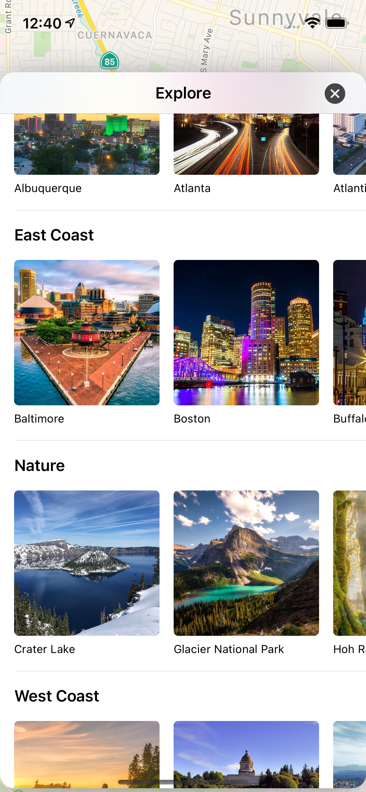
This screen can be scrolled vertically and has rows of different categories of locations that the user can view.
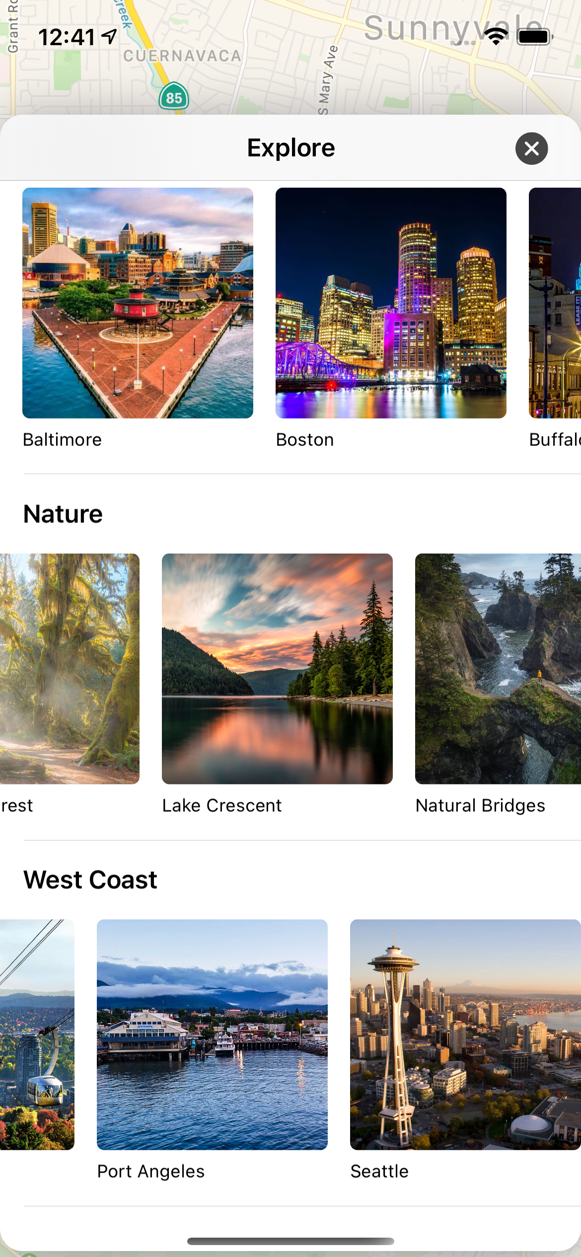
Each row can also be scrolled horizontally to show all the different locations in each category.
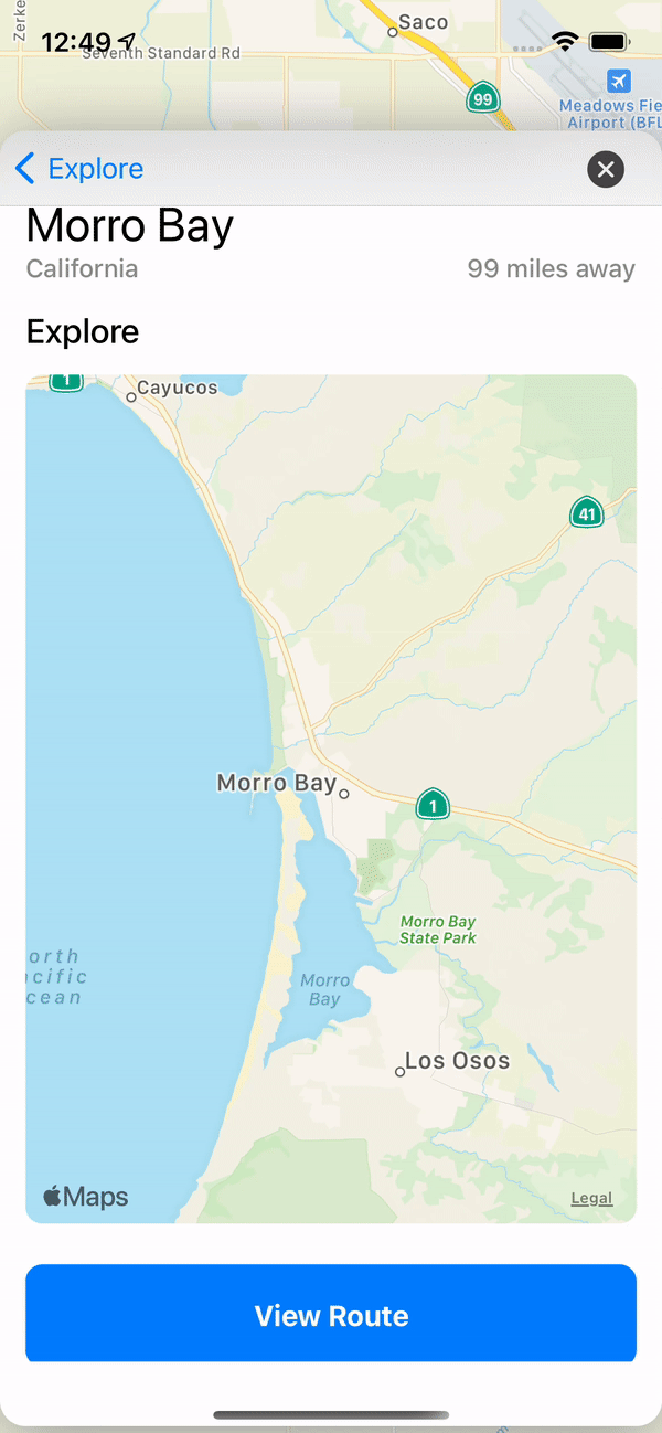
Info
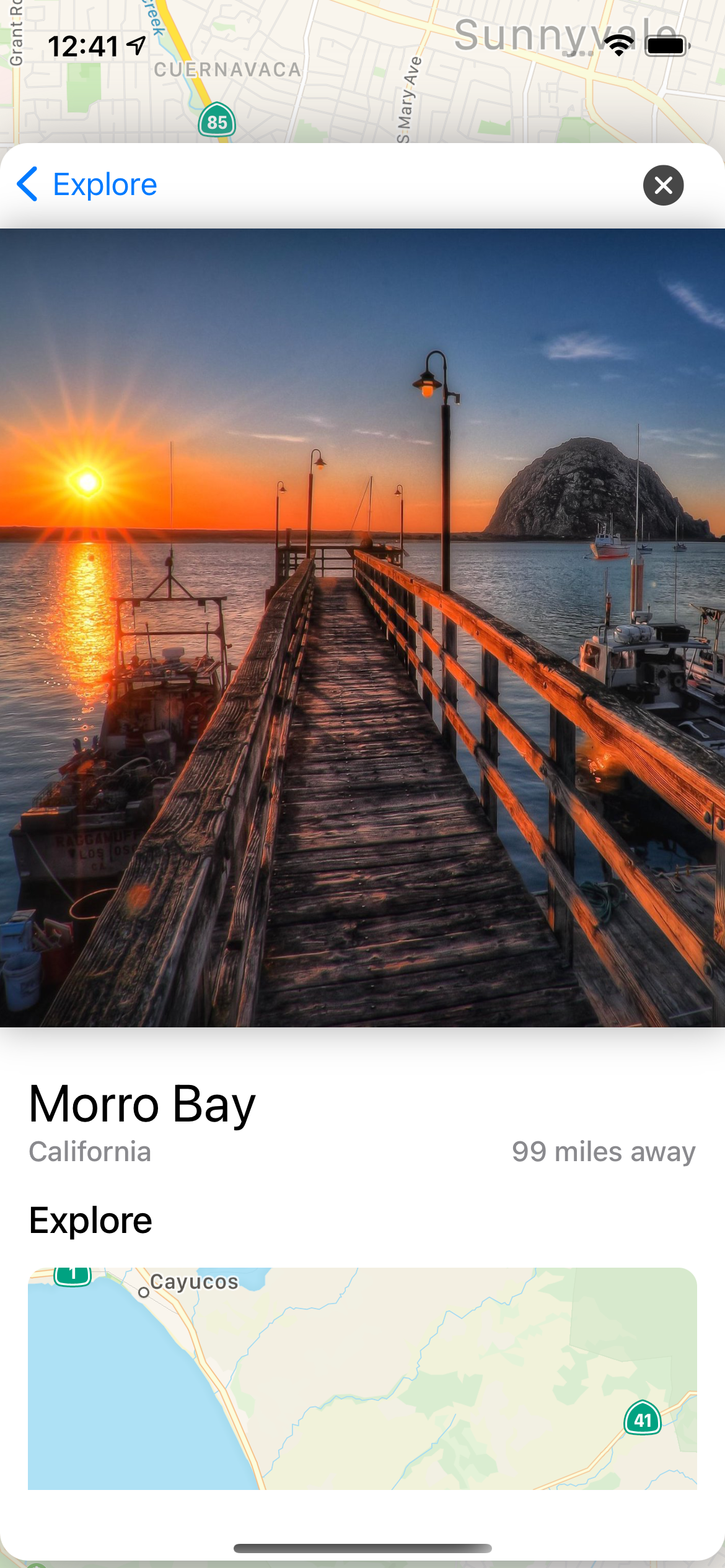
After clicking on a location you are taken to a page that has more information on the location including how far away you currently are from that location.
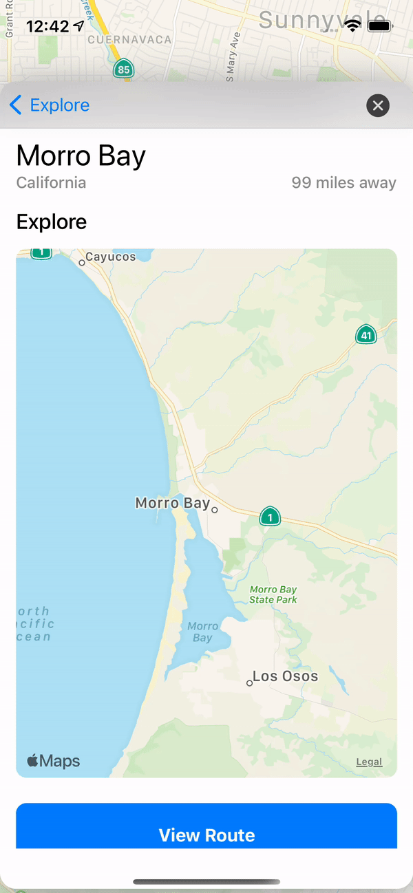
Scrolling down on this page you can also view a map of the local area. This map also shows your current location.
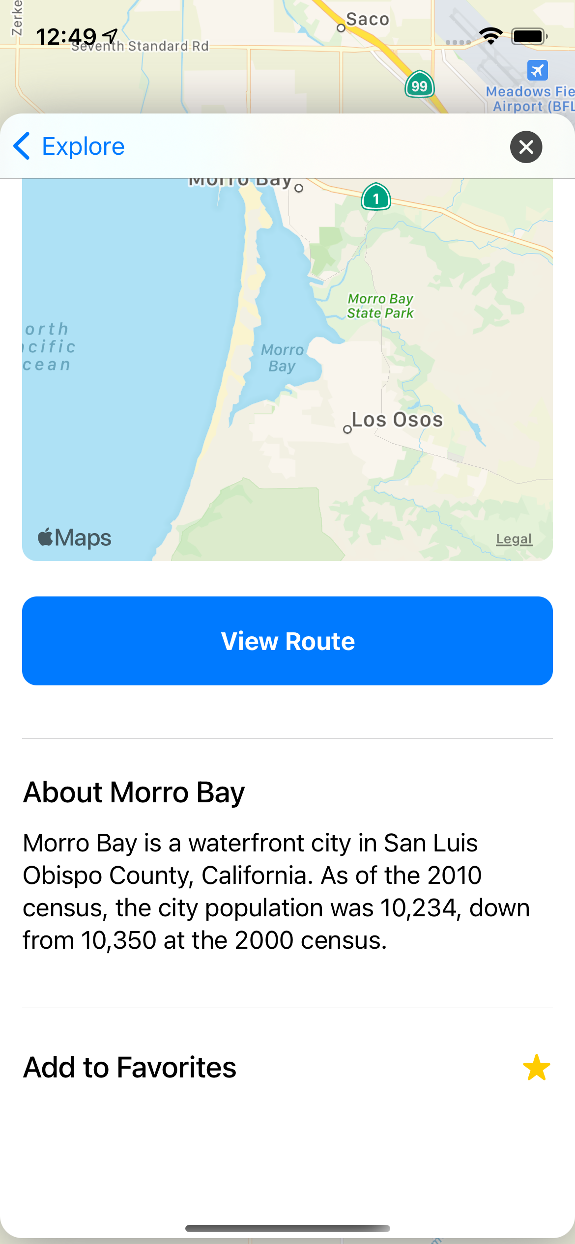
The bottom of the screen also has a short description of the place as well as a button to get directions from your location.
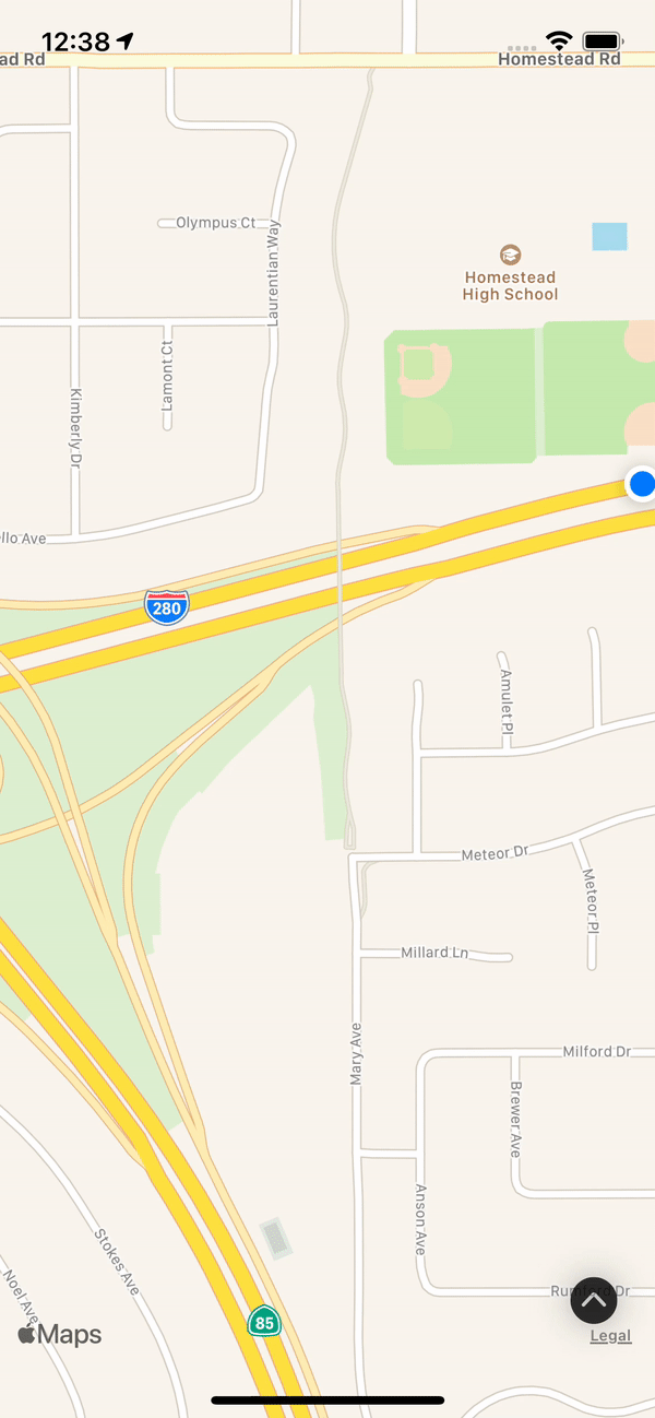
Directions
Clicking on the button will take you to another map view that shows the route you would take to get to the selected location.
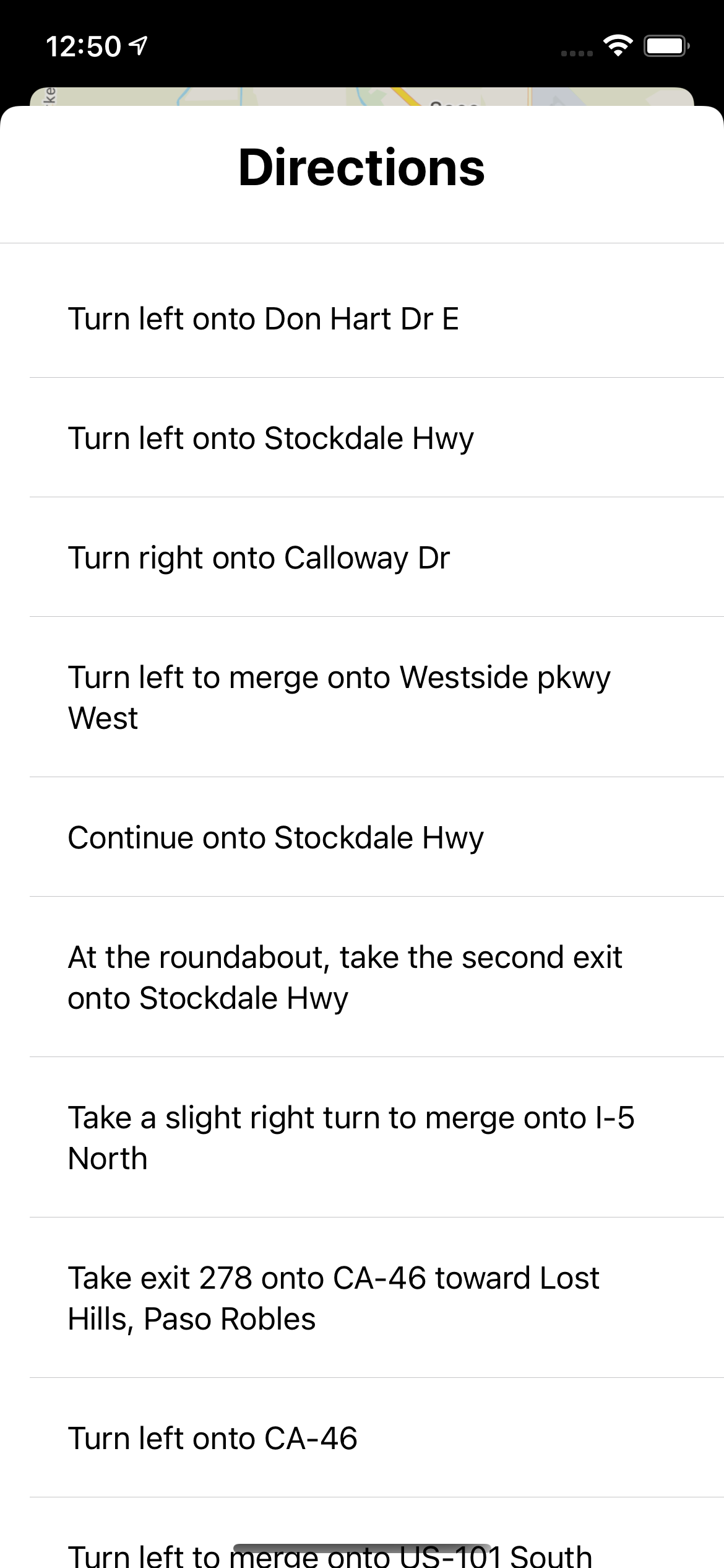
There is also a button that lets you see a list of the turn by turn directions to get to the location.
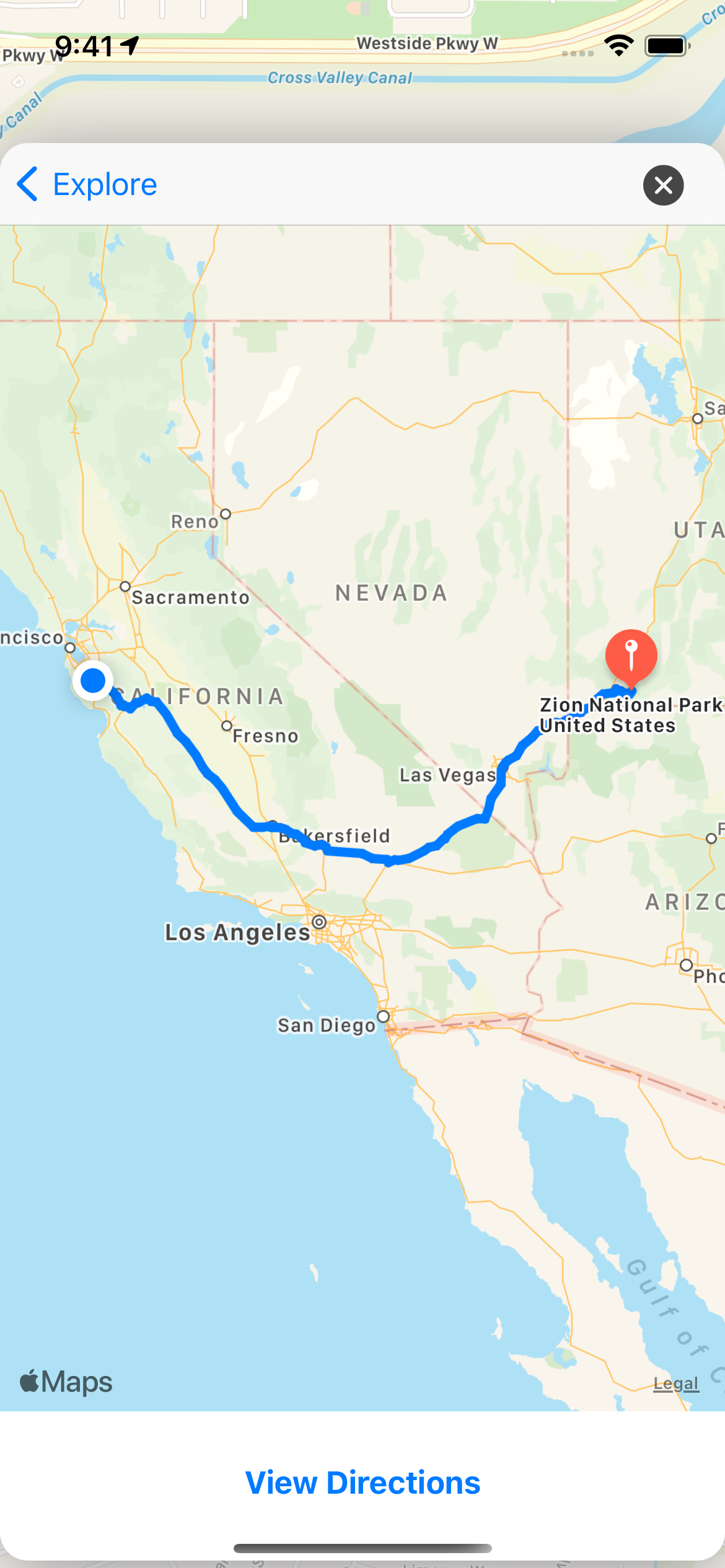
The route and directions work for any saved location from wherever you are as long as there is a way to drive there as shown above.
Lab 12 Questions
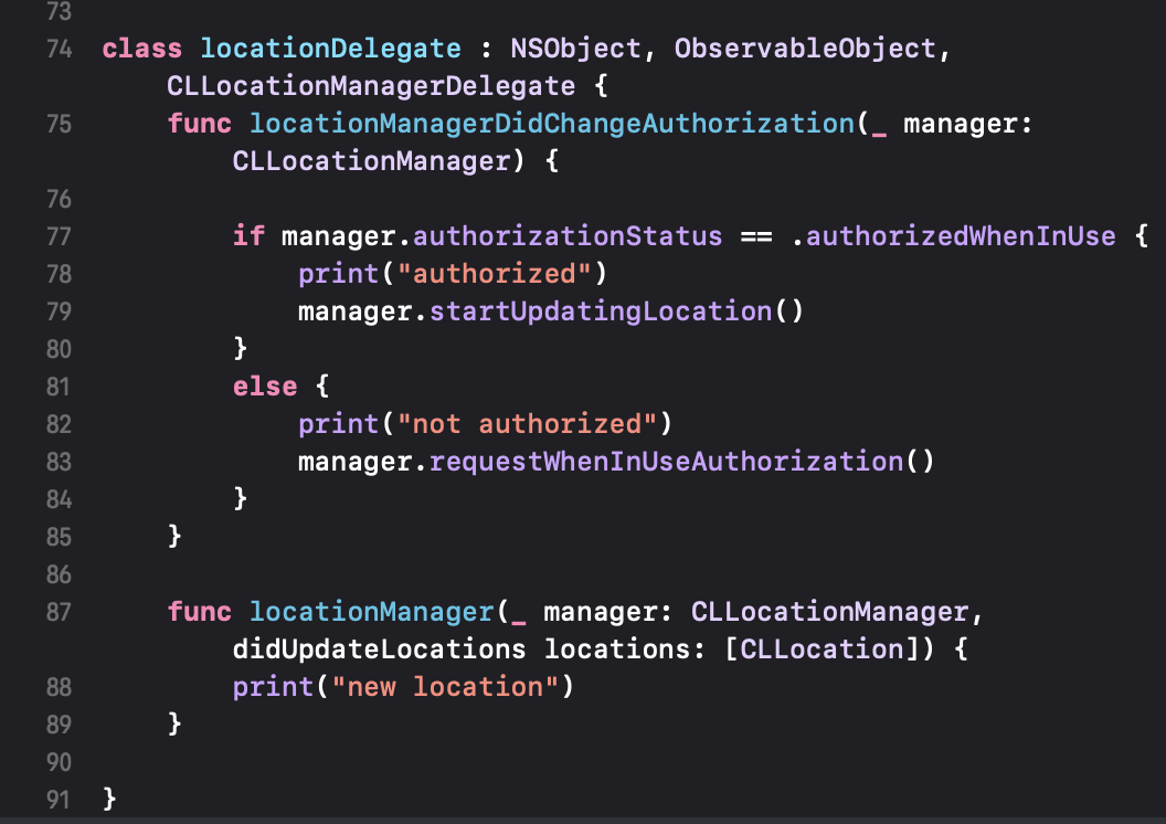
- I will collect user location data (latitude and longitude) from the GPS sensor.
- The range is two coordinate doubles ranging from -90 to 90 for user's latitude and -180 to 180 for user's longitude.
- I will test the sensor by using the GPS on my app.
- My project is on github.com/Abraham117/TravelApp. I uploaded a zip file of the app.